TRUSTED BY
VISION-BASED
Shape
Better
Cities
From Urban Analysis to City Planning
We need to reimagine how cities
can sustain their growth.
Data can inform a novel usage of public spaces, reconfigure the mobility network, and urban infrastructures, the role of greenery and the usage of natural resources.
World Urbanization propects 1950- 2030
01. Rural population
02. Urban population
Source: United Nations Department of Economic and Social Affairs/Population Division World Urbanization Prospects: The 2011 Revision
Services
Traffic Analysis
Real-time traffic monitoring: monitor traffic in real-time and access AI-Powered analysis to identify traffic congestion and adjust traffic signals or other traffic management systems to optimize traffic flow.
Pedestrian Occupancy
Thanks to Machine Learning and Computer Vision we are able to analyze pedestrian occupancy and obtain data related to the usage of the street network and its patterns.
Infrastructure Monitoring
Constant monitoring is essential work to determine if the city and its infrastructure are well preserved. With Machine Learning techniques we are able to create more resilient smart cities.
Ecosystem Engineering
Through engineering we are able to strategically alter and enhance natural systems to promote sustainability, harmony, and ecological balance.
Weather Data
Collection and analysis of meteorological information to accurately predict and proactively adapt spatial planning decisions, ensuring optimal efficiency and resilience in various environments.
How we work
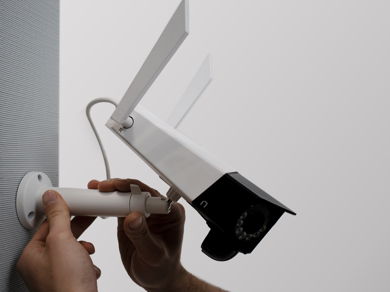
Data collection
Noumena employs advanced devices for data collection. Our sensing units integrate cameras and multiple sensors—CO2, humidity, noise, and lighting sensors—to collect ambient data. This versatile architecture customizes data collection for any space, simplifying the process of gathering and processing information.
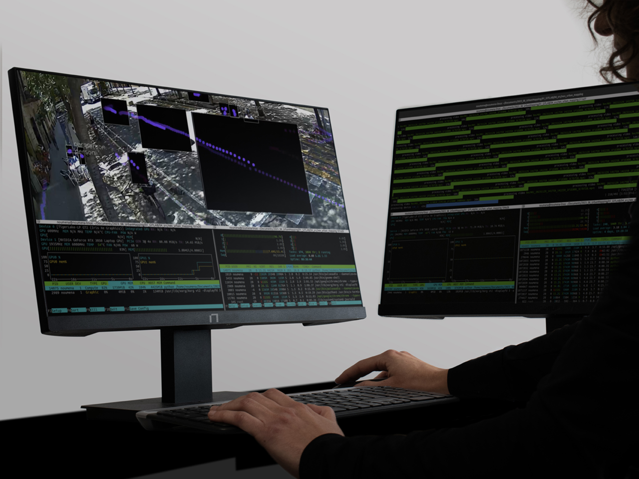
Image Analysis
Noumena employs computer vision and machine learning algorithms to decipher spatial data, facilitating a comprehensive understanding of urban scene components. Our objective is to provide qualitative insights into urban dynamics, empowering informed decision-making by unraveling the intricacies of urban landscapes.
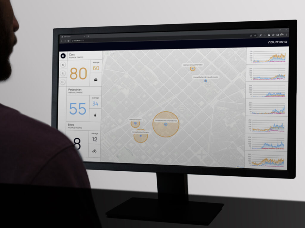
Data Mapping
Our codes are designed to map and reconstruct urban spaces, effectively capturing their utilization. By translating data into spatial coordinates, we enable a deeper understanding and analysis of urban dynamics. This data-driven approach allows to reshape the urban context for improved urban development.
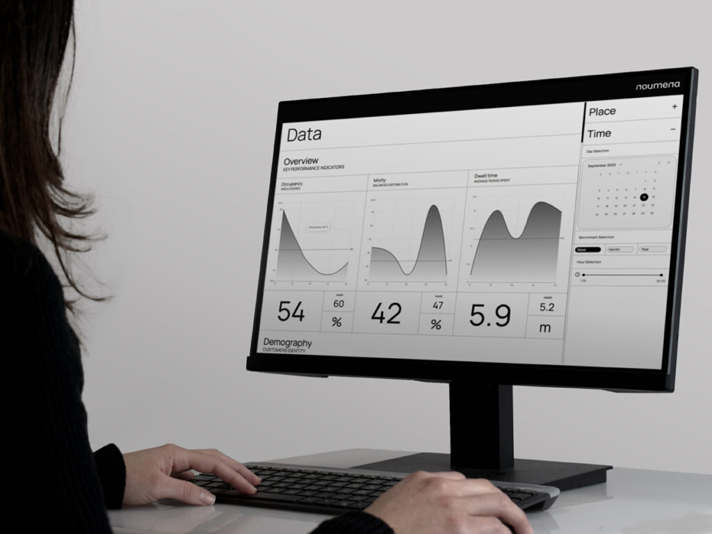
Data charts
Our platform offers an intuitive user interface tailored for spatial data visualization and analysis. Users can extract valuable insights with user-friendly metrics and intelligently crafted charts. The platform simplifies the process of identifying hidden patterns and trends, making data exploration and decision-making a seamless experience.
Data Safety & Privacy
Data Anonymization
Data anonymization ensures
that your data remains unidentifiable
Our product incorporates a powerful feature known as Data Anonymization, ensuring that your data undergoes a secure transformation into a privacy-compliant format, effectively fortifying personal and confidential information against unauthorized access.
By maintaining data compliance and preserving individual privacy, our solution empowers you to extract valuable insights from your data
Encryption feature
Encryption feature to ensure
that your data is protected
This feature empowers you to shield your data with the highest level of protection. Through encryption, your information is transformed into an indecipherable code, ensuring that even if it falls into the wrong hands, it remains utterly secure.
Our Encryption Feature is the shield against cyber threats, compliance violations, and unauthorized access. With our product, you can confidently guard your sensitive data and maintain trust with your stakeholders
Multi-factor Authentication
Multi-factor User Authentication
With our solution, you can fortify your system’s access control with multiple layers of security.
This means that users are required to verify their identity through multiple factors, such as passwords, biometrics, or one-time codes.
Our Multi-Factor User Authentication feature ensures that only authorized individuals gain access, significantly reducing the risk of unauthorized entry and data breaches.
Contacts
HEADQUARTER
C/ de Cristóbal de Moura, 203,
08019 Barcelona, Spain
